
Scarp
- Python
- SvelteKit
- AI
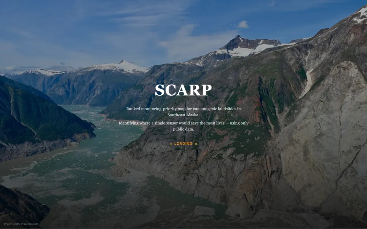
As glaciers retreat, mountain slopes above Alaska’s fjords are collapsing — sometimes into tsunamis, sometimes onto villages. Independent geologist Bretwood “Hig” Higman installs low-cost monitoring sensors by hand, alone, with no map telling him where the next one matters most. Scarp builds that map: a statewide ranking of where a single sensor would save the most lives, from five public datasets (USGS susceptibility, DEM-derived fjord-wall and volume signals, a landslide inventory, and OpenStreetMap exposure data) and nothing proprietary.
The search never lets the model touch the data. Ask it something in plain English — “sites near cruise routes with no monitoring” — and an LLM translates that into filter parameters only: thresholds, a location, a radius. Plain, deterministic Python applies those parameters to the ranked list and returns the result. The model never sees the underlying 120 sites, only the schema of what exists. That keeps the ranking fully explainable and the whole thing degrades gracefully to a static top-15 list if the LLM step is ever unavailable.
Getting the scoring right took five rejected approaches: multiplicative scoring that zeroed out remote fjords with a single missing factor, a statewide susceptibility raster that silently marked the highest-risk fjords as no-data, density clustering that produced useless multi-kilometre blobs instead of point sites, a model that ranked Anchorage suburbs above genuine fjord cliffs because it was scoring building density instead of failure risk, and — deliberately kept as a feature, not a bug — the famous Barry Arm site ranking low, because it’s already monitored and Scarp is built to find the gaps, not restate the well-known.